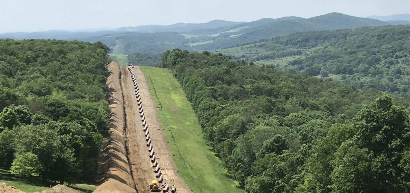
The energy sector is benefiting from the introduction of UAV technology. Unmanned Aerial Vehicles (UAV), or drones, offer a specific range of benefits as an asset management tool for pipeline inspection and detection of integrity issues.
Drones are the ideal solution for conducting visual inspections of infrastructure and gathering extensive data of linear assets while minimising field staff requirements.
Traditional linear assets such as pipelines pose a significant challenge to inspect and monitor throughout their lifetime in order to reduce construction, operational, and maintenance costs, as well as minimise potential environmental impact.
The value of this information is based on its mobilisation in a logical approach to the inspection process for numerous types of pipeline monitoring and construction operations. In combination, aerial drones and a powerful cloud-based platform can produce online, instantly updated mapping, and annotations for an experienced inspection team to remotely monitor, share, and report.
Apply a Complete Inspection Workflow
The combination of drone service providers and Unleash lives powerful mapping and modeling technology provides a complete solution through which inspection teams can reduce the time required to inspect pipeline construction, regeneration, and Right of Way (ROW) compliance.
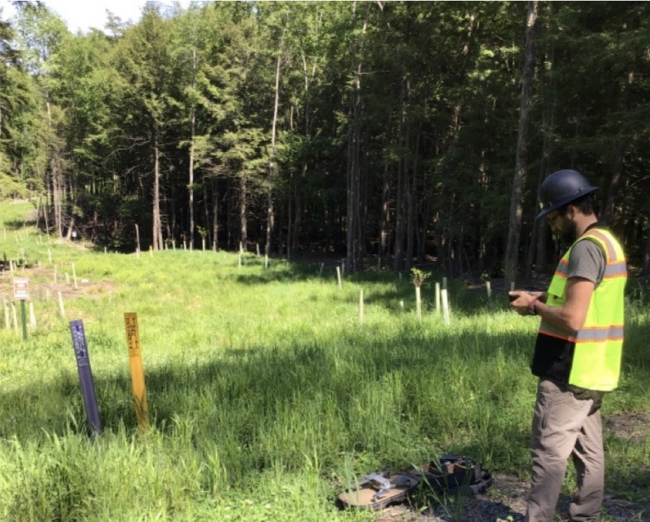
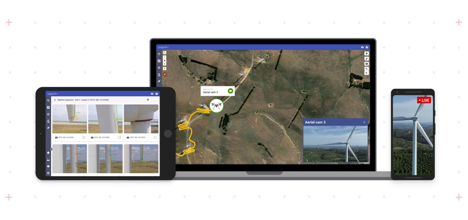
A drone flight in progress
The first step is always a regular, well-planned capture process with a meticulously coordinated flight path for repeatable data capture. This requires good communication between the drone team and the inspection program to get the exact area(s) required.
The captured images are processed on the account to create an accurate 2D orthomosaic, 3D model, and point cloud for analysis by the inspection staff, engineers, or project managers from any connected environment.
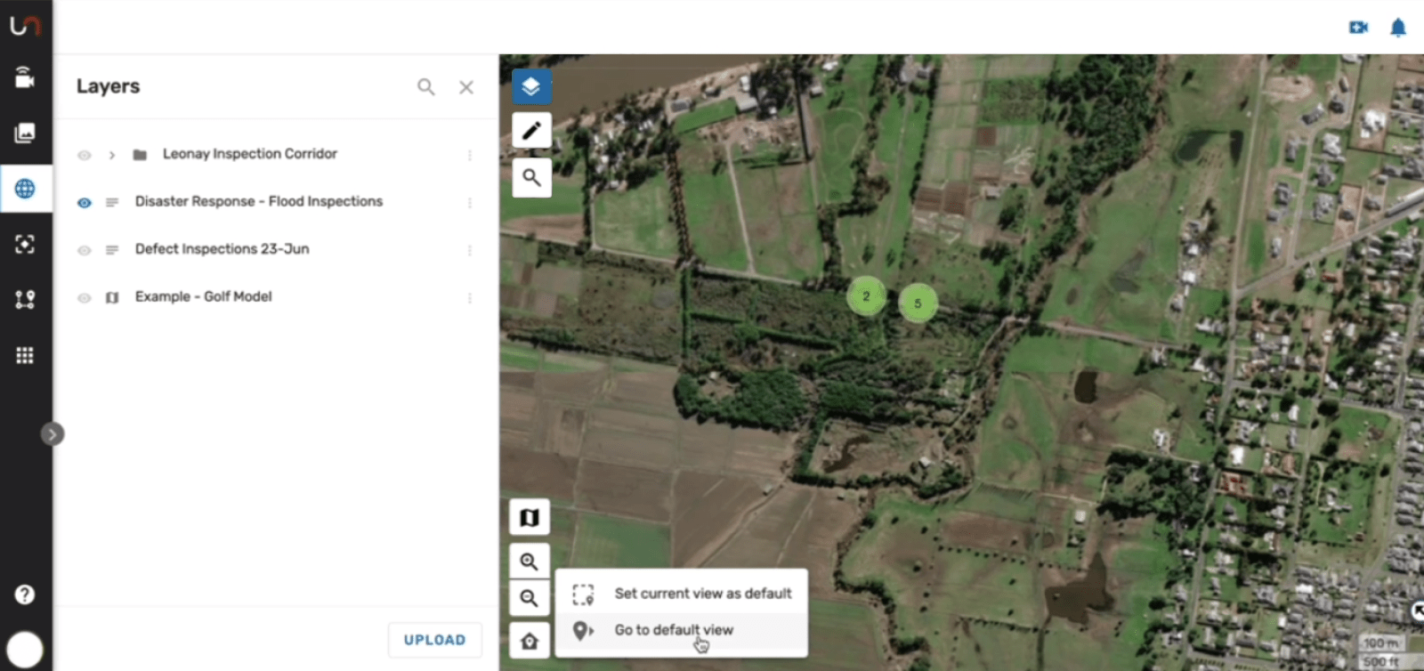
Each flight is represented as a layered 2D Orthomosaic in the Fusion Atlas (Unleash live’s digital asset map) which combines rich contextual data such as approved access roads, environmentally sensitive areas (ESA’s), and landowner parcel data.
Fusion Altas allows existing geospatial data to be imported to accelerate the identification of ROW, mile markers, and previously known issues.
The Unleash live platform allows integration to industry-standard systems such as ARC GIS to complement existing workflows and software packages. This allows information to be easily shared between GIS specialists and field operators and supports all commonly used formats such as shapefiles, KMZ/KLM, and geoJSON. Additional information such as drone flight logs can also be included to provide additional geospatial context to collected imagery and videos.
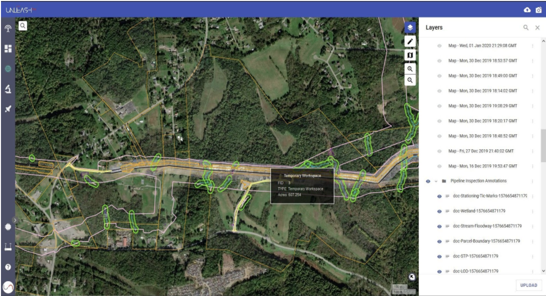
Viewing inspection results in Unleash live's Fusion Atlas
The Inspectors are able to pinpoint areas of concern such as erosion, slips, leaks, surface asset damage, bare spots in vegetation that would indicate compaction or spills, and much more. Adding severity and comments allows work orders to be prioritised and reviewed before sending it to the environmental inspectors on the ground. This improves time efficiency by directly pointing inspectors to the appropriate location for field inspection and reporting while arming them with as much information as possible before they reach the location.

The inspection loop is completed by the inspector in the field capturing images and attaching/commenting on the annotation, with the capability of a livestream from a smartphone or drone to display the evidence within the digital asset map.

Over time these layers become powerful points of evidence, demonstrating to the regulators and landowners the steps taken to resolve issues or points of contention.
Additionally, adding artificial intelligence can increase the speed of detection, with automatic indication of areas requiring review, vegetation regeneration percentage, and difference detection. Contact us to learn more about the use of artificial intelligence to accelerate visual inspections.
Inspectors are just one discipline that benefits from this process. Additional application ranges from;
Land
Current landowner property conditions, lease or purchase negotiations due diligence reporting and documentation, access to current ROW conditions from the office
Legal
Evidence for contentious landowner resolutions & litigation, insurance claims settlements eminent domain proceedings
Contractor
Contractor change order review and negotiations, construction materials quantification, utility Inspections, BMP sequencing documentation, as-builts, variance Request documentation
Construction/Engineering
Slip mitigation and management, redline documentation and reporting management, construction Permits compliance, construction Inspections reporting
Environmental
Environmental permit conditions compliance inspections & reporting, permit violation resolution, variance request support, FERC Weekly/Monthly Reporting
Public outreach
Virtual ROW Tours, construction sequencing education for public and private groups, investor reporting and documentation of progress, contentious media resolution and response


