Natural Disasters Are Costing Taxpayers Dearly
Disasters cost US taxpayers $742.1 billion from 2017 to 2021. In Australia, the cost is A$18.2 billion per year and is forecast to rise to A$73 billion per year by 2060. Even more frighteningly, this is based on a low-emissions scenario. Now more than ever, technology has an important role in scaling rescue operations and predictive analytics.
These numbers, stated in a recent Deloitte report, show that the cost will be significantly higher by 2050 than what was reported for Australia in 2017. Additionally, floods and cyclones are expected to disproportionately take a substantial 45-65% of the economic costs, with remote and rural communities being the most affected.
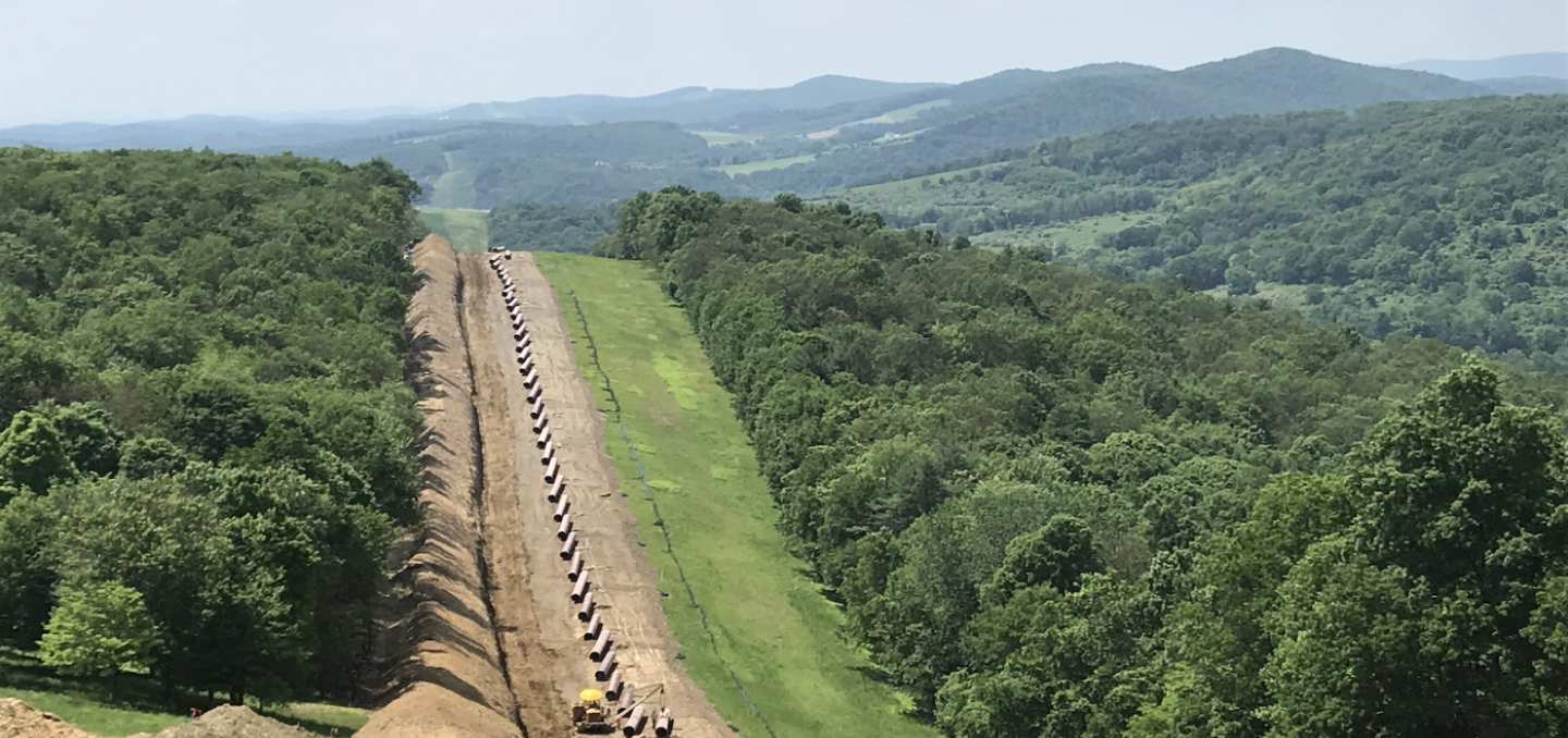
The backbone of modern civilization is supported by electricity grids, roads, railways, ports, airports, water, information, and communication technology, not to mention the maintenance of public services such as schools and hospitals. A disaster's impact on these not only quickly adds to the dollar cost of the crisis but also has a devastating and long-lasting impact on society as a whole.
Response planning and teams are often hampered by challenges such as the complexity of the stakeholders and communication between them. The need for emergency response is to act at speed, but often, organizations rely on many legacy operating systems that lead to inefficient or incorrect use of high-cost resources. Furthermore, manual analysis of data can be crippling; technology that integrates analysis and decision-making in real-time should be used to simplify or remove these current challenges.
Better, faster decisions lead to solutions in critical times
Local and state authorities tend to be heavily invested in Esri's GIS software to better understand the context of the problem and the environment. This technology allows access to up-to-date information for disaster response and crisis teams, providing capabilities such as managing response with live feeds and sensor data to facilitate faster decision-making.
Esri does a great job of bringing the data together into an environment where situational awareness can be turned into prioritizing deployed resources. Examples of sources that feed data into the platform from which insights are pulled include:
- Storm reports
- Current gauge levels
- Road closures due to flooding data
Getting accurate, timely data is essential when using these tools. The data feeds, such as the ones listed from recognized authorities, are invaluable, but they lack the detail that is afforded by aerial imagery. Clearly, nuance matters when there is a need to assess damage.

Disaster recovery dashboard showing asset and service impacts, costs, and estimated repair times
Bringing remote subject matter experts in, when it matters.
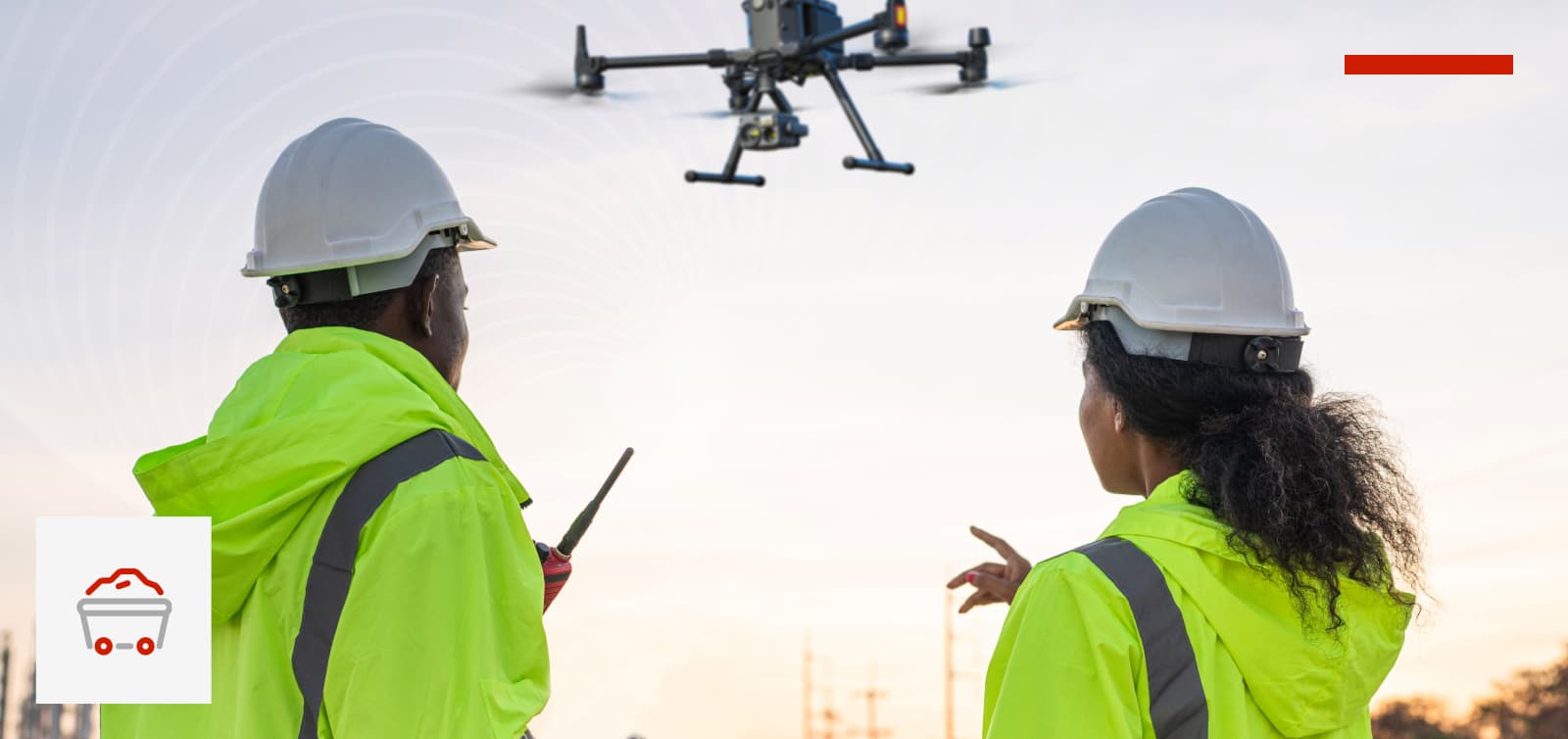
Lifesavers and first responders have adopted drone operations for regular or ad hoc visual inspections, capturing significant amounts of video and imagery, but this is not always what stakeholders or experts want to see.
That's because drone pilots are not the subject matter experts, and their primary concern is safety and flying a craft, the secondary concern is the quality of the visual data being captured and they are least concerned about how to get the data quickly to the early responders or central coordination and recovery teams. Capturing the data needed for decision-making is the promise of drone operations, but it can lead to extensive pre-briefing and time delays when missions have to be flown twice, as the wrong footage was captured or the insight required is time-sensitive.
Supercharge your remote operations with Unleash live Autofly
Unleash live, an AWS Public Safety and Disaster Response Partner, provides drone operators and subject matter experts the ultimate enterprise-grade real-time collaboration platform. A specific module within the platform, called Unleash live ‘Autofly’, enables collaborative drone operations. The tool easily brings stakeholders onto a remote live stream and allows them to take control of the camera and get the insights that they require there and then.
“Autofly’s zero latency live streaming is like none other.”
- Hanno Blankenstein, CEO, Unleash live
Unleash live’s Autofly proposition does that and much more. Its zero-latency live streaming is like none other. Autofly can bring remote experts onto a live stream and let them experience what the drone is seeing in real time.
It does this by optimizing the network connectivity in the most challenging of circumstances to ensure a stable feed is available. Autofly works either via 3G/4G or Satellite connectivity, bringing an unlimited number of stakeholders onto the stream is as simple as sharing a URL and anyone with a connected browser, mobile, tablet or desktop can take part. No account credentials or further software hurdles to overcome.
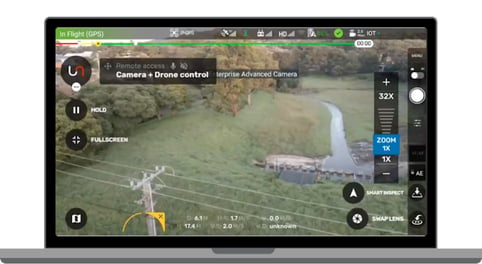
Unleash live's Autofly brings remote experts into a live stream.
Operational clarity with Unleash live Fusion Atlas
Pilots and stakeholders can rest assured that imagery is automatically uploaded and securely stored in the Unleash media library for fast assessment and sharing. Images are geotagged and available for viewing within the Fusion Atlas GIS mapping tool.
Aerial imagery captured by drone or satellite, or other live streaming PTZ cameras and tablets, or phones can be overlaid as layers integrating:
- Multiple kmz, kml and geoJSON data files
- Orthomap annotations with severity and description
- Annotations to build a clearer picture
- Import GIS and IoT data
Multiple datasets and GIS layers switching between views and working on a comprehensive set of relevant information on assets at risk all enable fast and accurate decision making.
Unleash live fire damage A.I. in action
Another capability built into Autofly is Mission Planning. Autonomous, repeatable, accurate flight plans to capture precise imagery over a given geography repeatedly, enabling fast and accurate change assessment.
Unleash live typically uses high-resolution satellite imagery with manual annotations to capture the baseline. GIS teams then use Unleash live’s Annotation tool to markup the assets of interest. After an event takes place, drone imagery can be captured utilizing Autofly to allow comparisons of pre and post condition assessment. Allowing remote experts or Mission Commanders to instantly get eyes on the situation. Inbuilt tools such as remote control of the drone and camera, as well as the real-time two-way voice comms, allow unprecedented levels of collaboration between the field and office.
Vision is our most powerful sense
Vision really is our most powerful sense, one that we are so acutely aware of when we are lacking it, especially in instances where emergency situations require decisions to be made fast. Incorporating the right technology into disaster risk and recovery plans will help the teams that need it most to help protect our societies. Are you excited for the future?